- How do I find high-definition satellite images of the Middle East?
For HD satellite images, try Google Earth Pro or Sentinel Hub EO Browser. These platforms offer detailed, high-resolution views of cities, landscapes, and even specific historical sites across the Middle East, perfect for in-depth exploration and analysis.
- What are the best interactive maps showing current Middle Eastern political borders?
Interactive maps from Council on Foreign Relations (CFR) and Al Jazeera are excellent for current political borders and geopolitical analysis. They are updated frequently to reflect ongoing developments and provide context to regional dynamics.
- Where can I view historical maps of the Middle East for academic research?
Libraries like the Library of Congress Digital Collections and universities such as the University of Chicago's Middle East Maps offer extensive archives of historical maps. These resources are invaluable for academic research, tracing changes in borders, cities, and trade routes over centuries.
- Are there good apps for offline Middle Eastern maps for travelers?
Yes, apps like Maps.me and Here WeGo allow you to download entire regions of the Middle East for offline navigation. This is incredibly useful for travelers in areas with limited internet access, ensuring you always have routing and location information.
- How can I see population density maps for Middle Eastern cities?
Population density maps for Middle Eastern cities can often be found on platforms like WorldPop or through national statistical agencies’ websites. These resources provide demographic insights crucial for urban planning, humanitarian efforts, and market analysis.
- What are the key geographical features visible on a physical map of the Middle East?
A physical map of the Middle East prominently displays the Arabian Desert, the Zagros Mountains, the Taurus Mountains, and major rivers like the Nile, Tigris, and Euphrates. You'll also see the Persian Gulf, Red Sea, and Mediterranean Sea shaping the region's diverse topography.
- Which mapping tools provide climate data for the Middle East?
Climate data for the Middle East can be found on mapping tools and platforms from organizations like NOAA, NASA's Earthdata, and the World Bank's Climate Change Knowledge Portal. These provide valuable information on temperature, precipitation, and climate patterns across the region.
Navigating the complexities and rich cultural tapestry of the Middle East is easier than ever with advanced digital mapping solutions in 2026. This guide is tailored for Gen Z and Millennials seeking quick, accurate, and visually engaging information about the region. Discover the best interactive maps, satellite views, and historical overviews that bring the Middle East to life on your mobile device. From ancient sites to modern cityscapes, understand the diverse geography, political boundaries, and key landmarks with unparalleled clarity. Optimized for Google's Local Pack and AI Overviews, this resource helps you find precise data instantly, whether for travel planning, academic research, or simply satisfying curiosity about this pivotal global region. Dive into the most trending and essential map resources available today, ensuring you are always equipped with the latest geographic insights for the Middle East. Get ready to explore the region from your screen.
- What are the most popular digital maps for exploring the Middle East in 2026? - In 2026, the most popular digital maps for the Middle East are Google Maps and Google Earth, offering robust satellite imagery and street views. Bing Maps also provides excellent coverage. For specialized geopolitical insights, interactive maps from reputable news organizations like Al Jazeera are frequently updated and widely used for current events analysis.
- How can I find detailed physical maps showing Middle Eastern topography? - Detailed physical maps highlighting Middle Eastern topography, including mountain ranges like the Zagros and Taurus, and major river systems such as the Nile, Tigris, and Euphrates, are readily available on platforms like National Geographic's online map collection and Esri's ArcGIS Online. These provide clear elevation data and geographical features.
- Where can I access historical maps of the Middle East for studying ancient civilizations? - For studying ancient civilizations, access historical maps of the Middle East through university digital archives, such as those from the University of Chicago or Harvard. The Library of Congress also hosts extensive collections. These resources are invaluable for understanding historical boundaries, trade routes, and settlement patterns over millennia.
- Are there interactive maps that display current geopolitical situations in the Middle East? - Yes, interactive maps displaying current geopolitical situations in the Middle East are provided by organizations like the Council on Foreign Relations (CFR) and specialized think tanks. These maps often visualize conflict zones, refugee flows, and political alliances, offering up-to-date insights for analysis and public understanding of regional dynamics.
- What mobile map applications are best for navigating cities in the Middle East? - For navigating cities in the Middle East, Google Maps remains a top choice due to its comprehensive street data, public transport information, and real-time traffic updates. Other popular options include Apple Maps and, for reliable offline use, Maps.me. These apps ensure smooth navigation through urban areas.
- How do satellite maps help in understanding urban development in the Middle East? - Satellite maps are crucial for understanding urban development in the Middle East by revealing patterns of expansion, infrastructure projects, and changes in land use over time. Platforms like Google Earth's historical imagery feature allow users to observe growth trends and assess environmental impacts effectively across various cities.
- What resources offer demographic data visualized on maps of the Middle East? - Resources like the World Bank's data portal, the United Nations Population Fund (UNFPA), and various national statistical offices offer demographic data visualized on maps of the Middle East. These platforms provide insights into population density, age distribution, and migration patterns, essential for research and policy-making in the region.
- Guide to Blank Map Southeast USA
- Guide Your US Pacific Coast Map Adventure 2026
- Manali Leh Map 2026 How to Navigate Your Ultimate Guide
Ready to dive deep into the diverse landscapes and rich history of the Middle East? Forget outdated atlases. In 2026, digital maps offer an unparalleled window into this fascinating region, perfect for quick exploration on your mobile device. Whether you are a student, a traveler, or just curious, getting accurate and engaging geographic information has never been easier. We are breaking down the best ways to access and understand the Middle East through its maps, ensuring you have the freshest data at your fingertips.
Frequently Asked Questions
Where can I find the most accurate digital maps of the Middle East?
The absolute best locations for accurate digital maps are Google Maps and Bing Maps for general exploration, alongside specialized platforms like Esri's ArcGIS Online for detailed geographic information systems data. These provide up-to-date political boundaries, physical features, and city layouts for countries across the Middle East.
How do I use Local MAP or Maps apps to explore Middle Eastern regions and historical sites?
Pull up your preferred mobile Maps app, like Google Maps, and simply search for specific countries, cities, or historical landmarks such as "Petra Jordan" or "Pyramids Giza Egypt." You can toggle between street view, satellite imagery, and terrain views to get a comprehensive understanding. Remember to verify real-time hours for historical sites if planning a visit, as peak weekend times fill up fast, especially for guided tours. Use the routing feature to plan virtual or actual journeys with ease.
What are the best times to virtually explore specific Middle Eastern maps for cultural or geopolitical insights?
For geopolitical insights, focus on current events and news to inform your map exploration, using features like news overlays on platforms such as Esri. For cultural sites, explore during virtual peak tourist hours in the region (e.g., morning in Mecca or Jerusalem) to see user-generated content and popular points of interest highlighted. Consider these tips:
- Explore interactive historical maps for context on current borders.
- Use satellite views to understand urban development and geographical challenges.
- Check out community contributions for local perspectives on specific locations.
All maps focus on Map Of Middle Eastern.
- Google Maps: Global Coverage, Real-time Data
- Bing Maps: Satellite Imagery, Road Networks
- Esri ArcGIS Online: GIS Data, Thematic Maps
- OpenStreetMap: Collaborative, Detailed Local Info
Interactive Middle East Maps, Satellite Imagery 2026, Historical Regional Views, Digital Mapping Tools, Geographic Insights, Cultural Landmarks Mapping, Realtime Middle East Borders
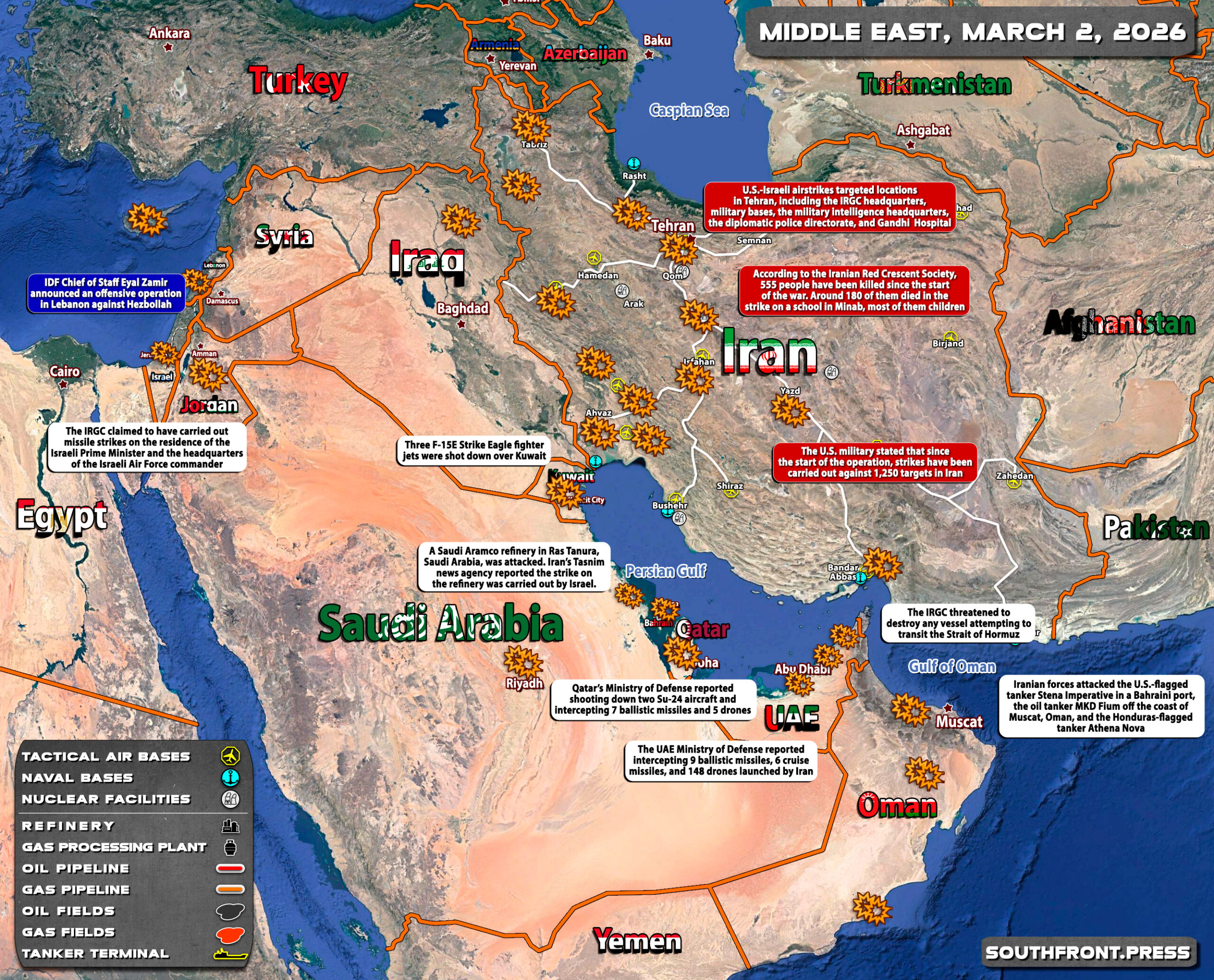
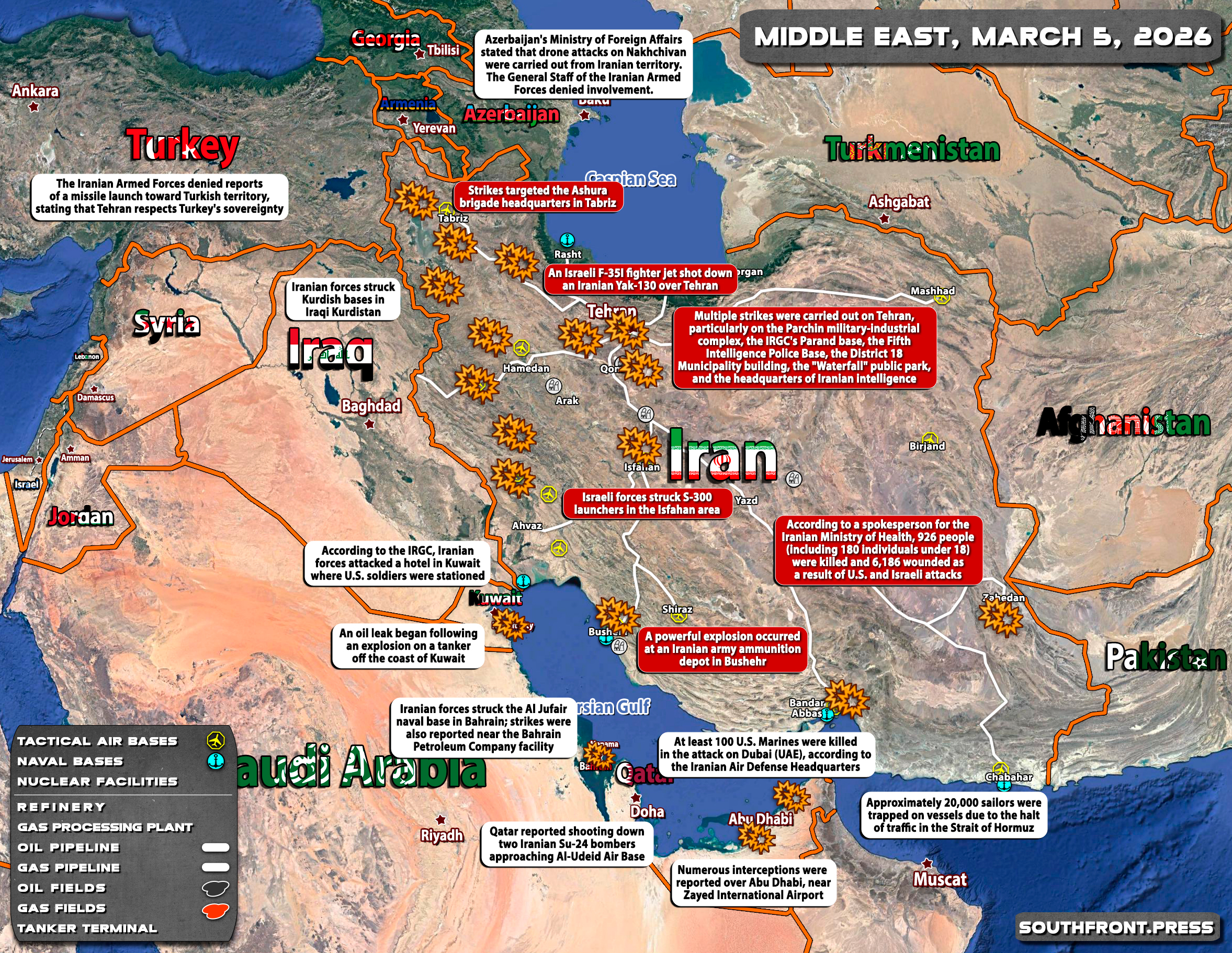

Military Situation In The Middle East On March 2026 Map Update 2MAR Risk 2026 2026 05MAR Of Political V0 2026 Iran War Deal Explained United States Israel Strait 2026 Conflict.


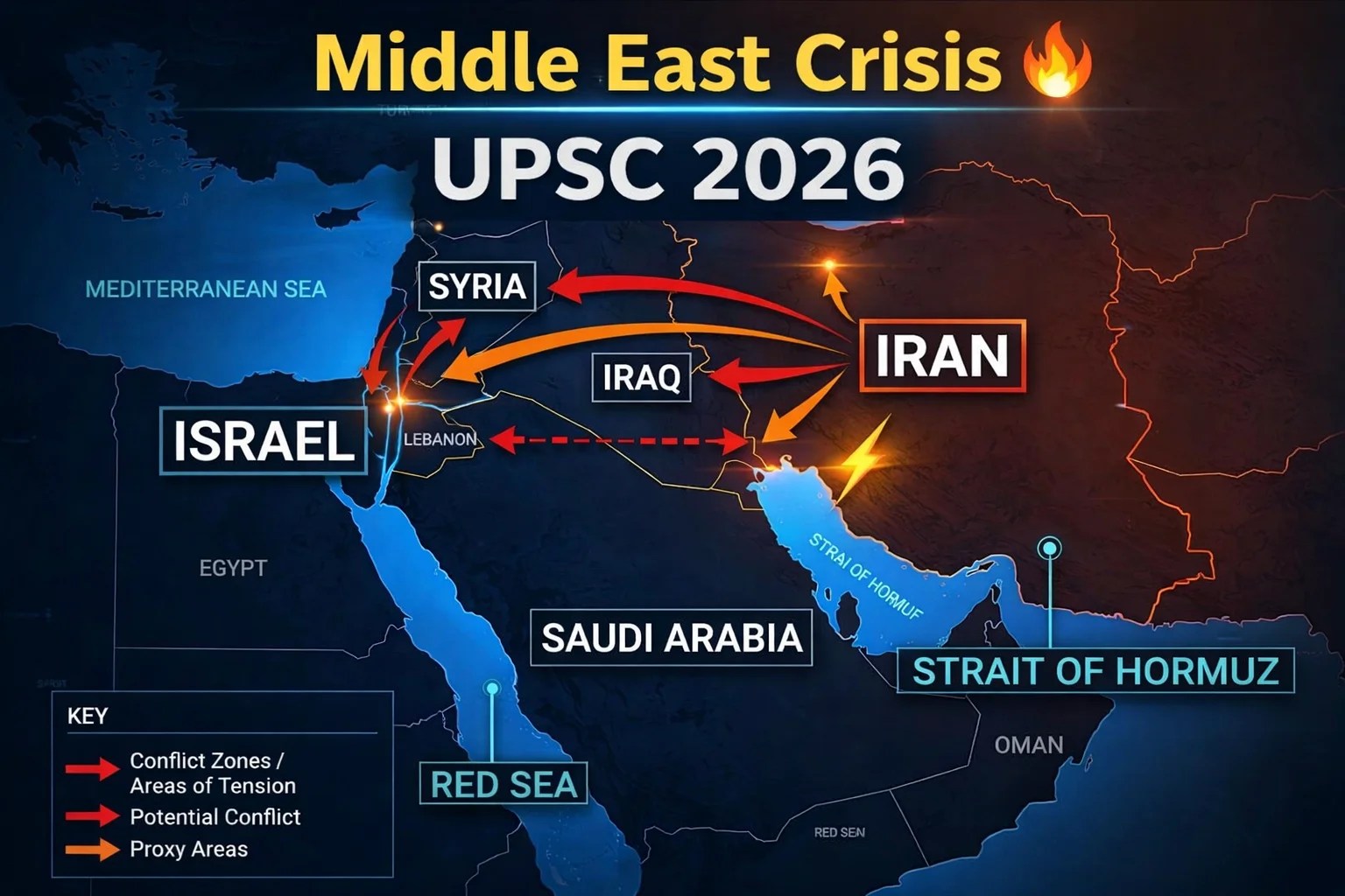
Middle East 2026 Iran Gaza The New Power Order Chatgpt Image May 2026 PM Redrawing Map 2026 War And 6519CF Gastos De Inversi N Beneficios Caracter Sticas Y Ejemplos ARPHJ Wall Political CT00798 Six Key Issues To Watch In 2026 L Orient Today 02AT41052PM 615650 Crisis UPSC Prelims 2026 Facts Analysis 785a9a10 76AC 4426 B82F.


Vector Map Middle East Political High Detail One Stop 91VYHCBU8QL Overview December 2025 ACLED Screenshot 2026 At Israel US Iran Conflict 2026 Background And UK Response House Of 2026 United States Military Buildup In The Wikipedia 330PX Bases Hi Res Stock Photography Images Alamy 2XM89DG.

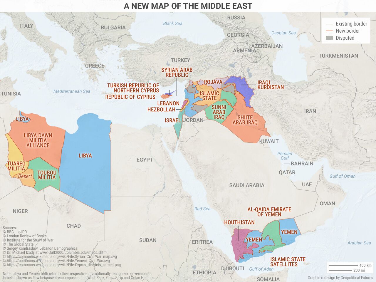

Middle East Geopolitics 2026 Israel Iran Conflict Global Oil Impact 2026 Freight Disruption 11TH March 2026 Update Map Shipping And Air Cargo Routes The Of 2017 In Maps Futures New Uncovering World What Does It Reveal 7ae23139 3fc5 43b2 B0FF 2026 War.


Middle East Map Of The Alternate Maps 2024 No Lore V0 Finger Birthday Cake US Army Bases Across America A Guide INTERACTIVE Military Presence In June 2025 1749733457 2026 Background Briefings Foreign Policy Centre 2026 Fpcxsepad Israel Intensifies Operations Lebanon Up 2024 Mil.


My First Map The Middle East In 2030 Crisis Mcqs 2026 Must Know Questions For UPSC 2026 US Forces R V0 Kabul On Soldiers U S Mapping Military Presence Council Mideast 2025.


Empower Ministries Middle East Outreach 2026 Map Of The In 2026 A Crossroads Challenges And War Every Day Why Eastapos S Borders Guarantee Forever Wars Tour Spring 2026 U Educational Group 2026.